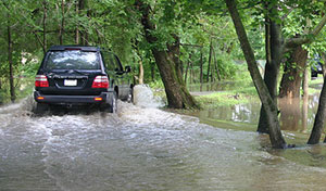
The Federal Emergency Management Agency (FEMA) has updated the Chester County Flood Insurance Rate Maps to revise floodplain boundaries for the Octoraro, Brandywine, Red Clay and White Clay Creek watersheds. These changes to the Flood Insurance Rate Maps are final and go into effect Sept. 29, 2017.
Stop by the FEMA Open House and FEMA staff will show property owners the revised floodplain boundary mapping, explain what it means and answer questions. This event will take place from 4:30 p.m. to 7 p.m. July 20 in Room 171 of the Chester County Government Services Center, 601 Westtown Road, West Chester.